Project Analysis of the Divatte Valley, an alluvial plain along the Loire River
Context Graduation project
Project studio Grands sentiers, Ensa Nantes
Teachers Anne Bossé + Petra Marguc
Place District’s community Sèvre & Loire (44)
Date 2024
The Grands sentiers led by Anne Bossé, invites you to explore the area on foot, by walking. This action is as much a manifesto as it is a tool for apprehending spaces, enabling us to adopt a posture at the scale of the body in movement. With a strong focus on architectural research on Nantes, the project aims to create a major metropolitan trail by the end of its fourth and final edition in 2024. More information is available in the dedicated Hypothèse booklet https://gdsentiers.hypotheses.org/which compiles the genesis and approach of each project developed, including the Parlement de Tougas created in the same studio.
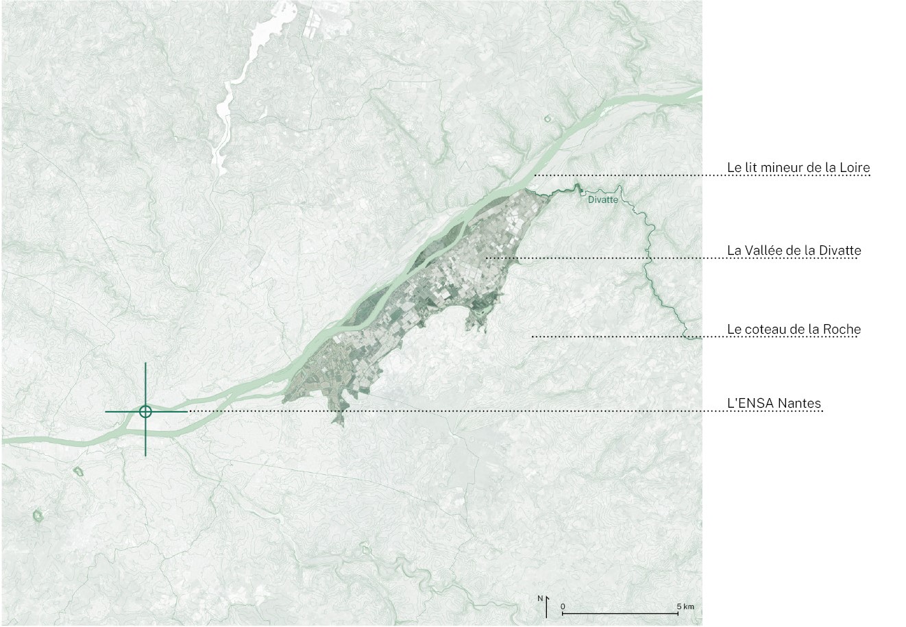
Located to the east of the Nantes metropolitan area, the Divatte Valley stretches for 14 km between the minor bed of the Loire, which corresponds to the area of the river under permanent water, and the Coteau de la Roche, a rocky outcrop carved out by the waters. The Divatte Valley is part of the major bed of the Loire, the area of influence of the river waters. It takes its name from the River Divatte, a tributary of the Loire that flows through it. This 25 km² sedimentary valley is criss-crossed by numerous boires, which collect run-off water and carry it to the foot of the hillside.
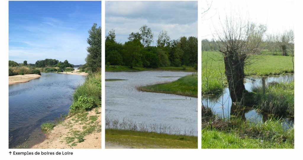
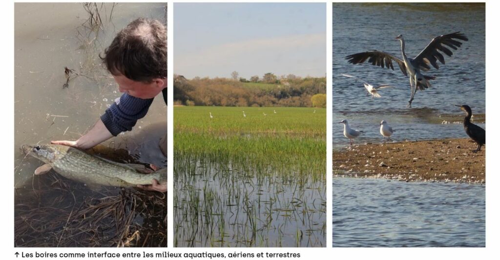
A boire is a local name for a dead section of the Loire, an area that is not in water all the time. These boires are permanent meadows, wetlands and pools of water that are essential for the biodiversity of the river, which thrives in a wide variety of environments. The variation in water levels throughout the year means that rare environments can be found, such as spawning grounds for pike and eel, or sandbanks for pioneer plants.
Today, the Divatte Valley is criss-crossed by 8 boires, entirely cut off from the river by the Levée de la Divatte, a huge earth and sand dyke stretching for 15 km. With an average height of 6 meters 40 above the lowest water level of the Loire, it is the last major royal dyke built along the river in 1856.
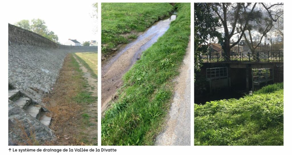
It is part of a coherent hydraulic system developed to drain the wet, sediment-rich land of the Divatte Valley. This system consists of a dyke, ditches, gates, canals and retention basins designed to divert rising groundwater and run-off water so that it can be channelled downstream as quickly as possible. This intense drainage of the soil has made it possible to live in the heart of the valley, but also to develop agricultural crops.
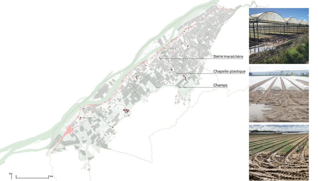
Today, 4/5th of the valley is devoted solely to market gardening production areas such as fields and greenhouses. To these must be added logistics platforms, packaging plants, storage sheds, industrial service areas, roads linking all these sites and water management areas. The Divatte Valley has been developed to meet the soil requirements of market gardeners. Every year, around 220,000 tonnes of fruit and vegetables are grown here, on 20 km² of land. The most surface-intensive crop is Nantes lamb's lettuce, a protected product that is exported all over Europe.
Initially driven by the high quality of the soil and the development of production-oriented agriculture, the market gardeners of Nantes spread out to the point where they controlled a large part of the land in the Divatte Valley. To increase production, land has been leveled and silted up, criss-crossed with greenhouses and plastic tunnels, sprayed with metam-sodium, a very broad-spectrum biocide, and overflown by helicopters spraying paint and lime.
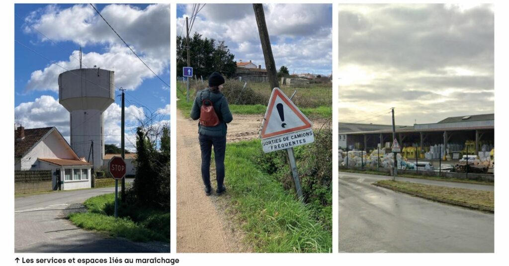
The market gardening industry developed throughout the 20th century in the valley, sheltered by the Levée de la Divatte. This dyke is currently maintained as part of the GEMAPI (Gestion des milieux aquatiques et prévention des inondations - management of aquatic environments and flood prevention) policy, which, in addition to its prevention role, is responsible for restoring and protecting aquatic and wetland areas. Public authorities are therefore financially committed to maintaining an infrastructure that works to the detriment of the land and areas that are supposed to be restored by these same authorities. Even worse, if the levee is not properly maintained, it increases the risk of flooding by rapidly releasing a large volume of water. It is difficult for the public authorities to propose and install alternative, productive agricultural projects that are compatible with poorly drained areas because they are not as competitive as industrial market gardeners. These companies are so financially powerful that they can afford to buy land for 5 to 6 times the market price, thereby preventing public investment.
This survey of the Divatte Valley was accompanied by the creation of several walking maps. The rest of the project is available here